2005
SN6488 : Old trackway / Bridleway, near Llety Llwyd
taken 19 years ago, near to Tal-y-Bont, Ceredigion/Sir Ceredigion, Wales
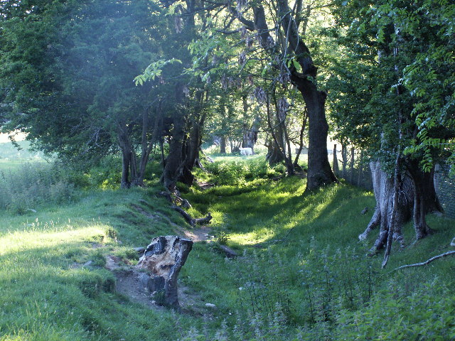
Old trackway / Bridleway, near Llety Llwyd
Old trackway, looking west from junction at base of Caer Llety Llwyd
 Map © Crown Copyright")
TIP: Click the map for more Large scale mapping
- Grid Square
- SN6488, 17 images (more nearby 🔍)
- Photographer
- Nigel Callaghan (more nearby)
- Date Taken
- Saturday, 11 June, 2005 (more nearby)
- Submitted
- Saturday, 11 June, 2005
- Subject Location
-
OSGB36:
 SN 64 88 [1000m precision]
WGS84: 52:28.6534N 3:59.7922W