2010
SE0933 : Path at Back Heights, Thornton
taken 14 years ago, near to Thornton, Bradford, England
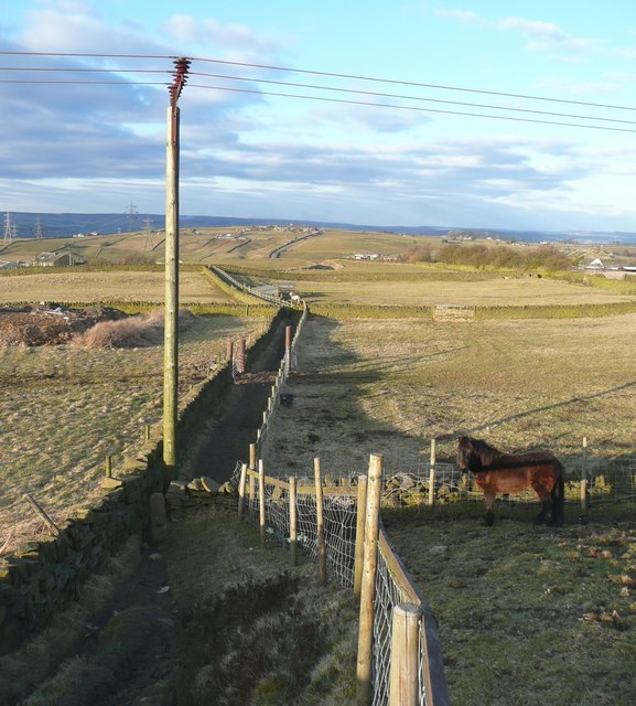
Path at Back Heights, Thornton
An enclosed path, but with stile opposite the field boundaries. In the distance the road to Wilsden climbs up the hill.
 Map © Crown Copyright")
TIP: Click the map for more Large scale mapping
- Grid Square
- SE0933, 83 images (more nearby 🔍)
- Photographer
- Humphrey Bolton (more nearby)
- Date Taken
- Thursday, 11 March, 2010 (more nearby)
- Submitted
- Thursday, 11 March, 2010
- Subject Location
-
OSGB36:
 SE 090 333 [100m precision]
WGS84: 53:47.7559N 1:51.8911W - Camera Location
-
OSGB36: SE 090 333
- View Direction
- North-northeast (about 22 degrees)