2010
NS7679 : Track from Tomfyne to Banton
taken 14 years ago, near to High Banton, North Lanarkshire, Scotland
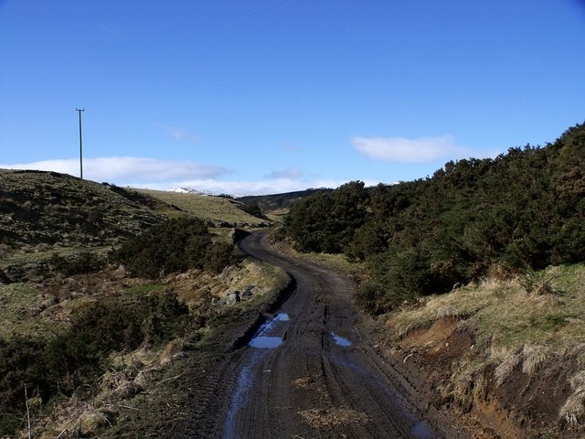
Track from Tomfyne to Banton
Twisting its way through a little gully.
 Map © Crown Copyright")
TIP: Click the map for more Large scale mapping
- Grid Square
- NS7679, 20 images (more nearby 🔍)
- Photographer
- Robert Murray (more nearby)
- Date Taken
- Saturday, 13 March, 2010 (more nearby)
- Submitted
- Sunday, 14 March, 2010
- Subject Location
-
OSGB36:
 NS 760 799 [100m precision]
WGS84: 55:59.7914N 3:59.3433W - Camera Location
-
OSGB36: NS 761 799
- View Direction
- West-northwest (about 292 degrees)