2006
SE7428 : Former Course of the River Derwent
taken 18 years ago, near to Knedlington, East Riding of Yorkshire, England
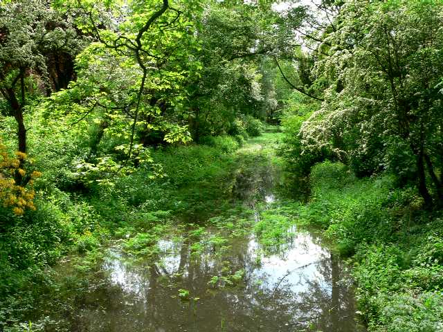
Former Course of the River Derwent
The nearest access to the River Derwent is now almost three miles away
 Map © Crown Copyright")
TIP: Click the map for more Large scale mapping
- Grid Square
- SE7428, 352 images (more nearby 🔍)
- Photographer
- Roger Gilbertson (more nearby)
- Date Taken
- Tuesday, 23 May, 2006 (more nearby)
- Submitted
- Saturday, 27 May, 2006
- Subject Location
-
OSGB36:
 SE 742 282 [100m precision]
WGS84: 53:44.6943N 0:52.5834W - View Direction
- South-southwest (about 202 degrees)