2010
SO8280 : Byway to Drakelow, Worcestershire
taken 14 years ago, near to Kingsford, Worcestershire, England
This is 1 of 2 images, with title Byway to Drakelow, Worcestershire in this square
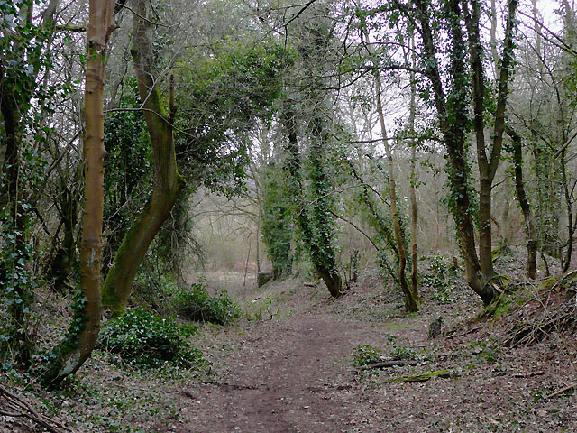
Byway to Drakelow, Worcestershire
This is known as Solcum Lane, and used to be a wider and more frequently used route than it is now. Recent re-classification as a restricted byway (no motor vehicles) is described in enormous detail here: Link (Archive Link )
 Map © Crown Copyright")
TIP: Click the map for more Large scale mapping
- Grid Square
- SO8280, 35 images (more nearby 🔍)
- Photographer
- Roger D Kidd (more nearby)
- Date Taken
- Monday, 15 March, 2010 (more nearby)
- Submitted
- Friday, 19 March, 2010
- Subject Location
-
OSGB36:
 SO 821 807 [100m precision]
WGS84: 52:25.4395N 2:15.8263W - Camera Location
-
OSGB36: SO 822 807
- View Direction
- West-southwest (about 247 degrees)