2010
NH6841 : Rural Inverness
taken 14 years ago, near to Milton of Leys, Highland, Scotland
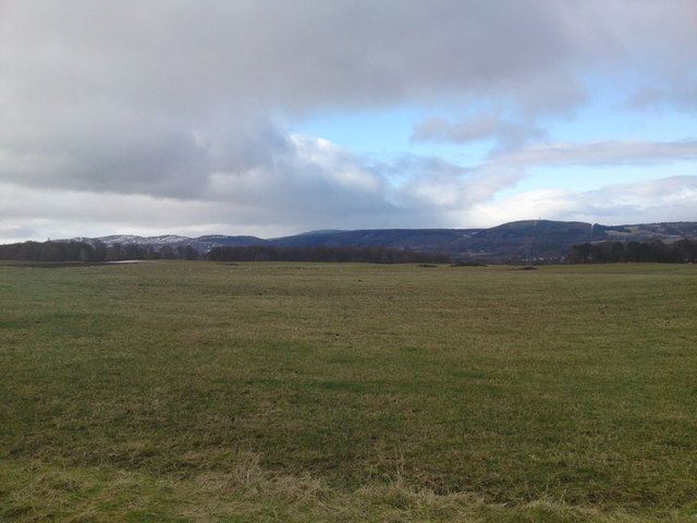
Rural Inverness
Looking across to Dunain Hill (right) and Cnoc na Gaoithe (left). No doubt the rolling fields will be houses in a few years time as fat cat developers continue to line their pockets at nature's expense!
 Map © Crown Copyright")
TIP: Click the map for more Large scale mapping
- Grid Square
- NH6841, 11 images (more nearby 🔍)
- Photographer
- Alasdair MacNeill (more nearby)
- Date Taken
- Saturday, 13 March, 2010 (more nearby)
- Submitted
- Friday, 19 March, 2010
- Subject Location
-
OSGB36:
 NH 687 416 [100m precision]
WGS84: 57:26.7896N 4:11.2881W - Camera Location
-
OSGB36: NH 691 417
- View Direction
- West-southwest (about 247 degrees)