2010
SO7890 : Farmland near Gatacre Green, Shropshire
taken 14 years ago, near to Bobbington, Staffordshire, England
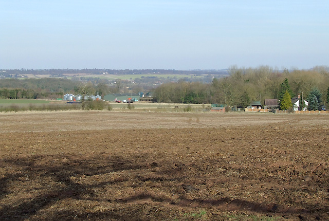
Farmland near Gatacre Green, Shropshire
Comparing the current Google satellite images with today's observations shows the fields around seem to be rotated between potatoes, cereals and rape. Plenty of muck has been spread on this field, so ploughing is imminent!
 Map © Crown Copyright")
TIP: Click the map for more Large scale mapping
- Grid Square
- SO7890, 27 images (more nearby 🔍)
- Photographer
- Roger D Kidd (more nearby)
- Date Taken
- Tuesday, 16 March, 2010 (more nearby)
- Submitted
- Tuesday, 23 March, 2010
- Subject Location
-
OSGB36:
 SO 789 909 [100m precision]
WGS84: 52:30.9464N 2:18.6541W - Camera Location
-
OSGB36: SO 789 909
- View Direction
- East-northeast (about 67 degrees)