2006
SS9546 : Bratton Walk, Woodcombe, Minehead
taken 18 years ago, near to Minehead, Somerset, England
Bratton Walk, Woodcombe, Minehead
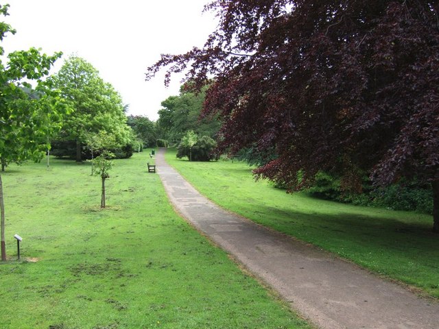
On the eastern side of Minehead is an area called The Parks. A pleasantly landscaped area with a stream running through it. This stream crosses the road and continues through parkland in an area called Woodcombe, probably originally a separate village - this photograph was taken here looking back towards Minehead. The pathway continues to the hamlet of Bratton, through more natural landscape as the parkland stops at this point.
 Map © Crown Copyright")
TIP: Click the map for more Large scale mapping
- Grid Square
- SS9546, 40 images (more nearby 🔍)
- Photographer
- Rob Farrow (more nearby)
- Date Taken
- Sunday, 28 May, 2006 (more nearby)
- Submitted
- Tuesday, 30 May, 2006
- Subject Location
-
OSGB36:
 SS 954 463 [100m precision]
WGS84: 51:12.3780N 3:29.9219W - View Direction
- EAST (about 90 degrees)