2010
TQ8209 : Rock-A-Nore Road Car Park
taken 14 years ago, near to Hastings, East Sussex, England
This is 1 of 2 images, with title Rock-A-Nore Road Car Park in this square
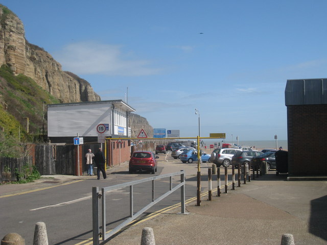
Rock-A-Nore Road Car Park
Once of two car parks off the Rock-A-Nore Road.
Rock-a-Nore Road
A short dead end road at the Eastern side of the Old Town, Rock-a-Nore Road sits at the base of East Hill.
To the North side of the road are fish and chips shops, cafés and restaurants. Mid way along is the entrance to the East Hill Lift, Funicular Railway. A new hotel is also under construction.
To the South side is the Jerwood Gallery, fishing net huts, fish mongers, a museum in an old chapel, and at the end of the road is an aquarium.
Leading off the end of the road is a large car park.
 Map © Crown Copyright")
TIP: Click the map for more Large scale mapping
- Grid Square
- TQ8209, 4355 images (more nearby 🔍)
- Photographer
- Oast House Archive (more nearby)
- Date Taken
- Saturday, 27 March, 2010 (more nearby)
- Submitted
- Saturday, 27 March, 2010
- Subject Location
-
OSGB36:
 TQ 828 095 [100m precision]
WGS84: 50:51.3710N 0:35.8266E - Camera Location
-
OSGB36: TQ 828 095
- View Direction
- East-northeast (about 67 degrees)