J4844 : Bench Mark, Downpatrick
taken 14 years ago, near to Downpatrick, Co Down, Northern Ireland
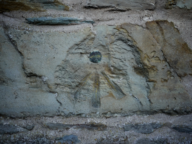
The original remarks for the mark describe it as
"Downpatrick Cathedral. Copper bolt driven into wall at West end; 2.6 ft above sill of door". It was initially levelled to 94.108 feet above sea level.
Today the mark has been levelled to 25.94 metres above MSL.
See also Link for many other examples I have found.
Bench marks Link
were historically used to record the height above sea level of a location as surveyed against the Mean Sea Level data (taken at Clarendon Dock, Belfast, for Northern Ireland data, Newlyn in Cornwall for data in Great Britain and Portmoor Pier, Malin Head, for data relating to the Republic of Ireland). They were used as part of a greater surveying network by the UK Ordnance Survey, Ordnance Survey Northern Ireland (OSNI) and the Ordnance Survey Ireland (OSI). If the exact height of one bench mark is known then the exact height of the next can be found by measuring the difference in heights, through a process of spirit levelling. In this way hundreds of thousands of bench marks were sited all around the UK & Ireland from the mid 19th to late 20th centuries. There are several distinct types of bench mark:
- Fundamental bench marks have been constructed at selected sites where foundations can be set on stable strata such as bedrock. Each FBM consists of a buried chamber with a brass bolt set in the top of a granite pillar. See NG8825 : Dornie fundamental bench mark for an example. FBMs were used in Ireland as well as GB but those in Ireland do not have any surface markers, nor are they marked on standard maps.
- Flush brackets consist of metal plates about 90 mm wide and 175 mm long. Each bracket has a unique serial number. They are most commonly found on most Triangulation Pillars, some churches or on other important civic buildings. See J3270 : Flush Bracket, Belfast for an example.
- Cut bench marks are the commonest form of mark. They consist of a horizontal bar cut into a wall or brickwork and are found just about anywhere. A broad arrow is cut immediately below the centre of the horizontal bar. See J3372 : Bench Mark, Belfast for an example. The horizontal mark may be replaced by or contain a bolt - see J1486 : Bench Mark, Antrim.
Other marks include:
- Projecting bench marks such as SD8072 : Projecting Bracket Benchmark on St Oswald's Tower
- Bolt bench marks such as SJ1888 : OSBM bolt on Hilbre Island
- Rivet bench marks such as J3978 : Bench Mark, Holywood
- Pivot bench marks such as SJ2661 : Pivot bench mark on Leeswood Bridge
Bench marks are commonly found on older buildings or other semi-permanent features such as stone bridges or walls. Due to updated mapping techniques and technological advances such as GPS, bench marks are no longer maintained. Many are still in existence and the markers will probably remain until they are eventually destroyed by redevelopment or erosion.
- Grid Square
- J4844, 507 images (more nearby 🔍)
- Photographer
- Rossographer (more nearby)
- Date Taken
- Saturday, 27 March, 2010 (more nearby)
- Submitted
- Saturday, 27 March, 2010
- Subject Location
-
Irish:
 J 482 444 [100m precision]
WGS84: 54:19.6566N 5:43.3270W - Camera Location
-
Irish: J 482 444
- View Direction
- East-northeast (about 67 degrees)