2006
SK2447 : Christ Church, Hulland
taken 18 years ago, near to Hulland Ward, Derbyshire, England
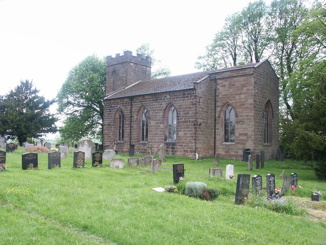
Christ Church, Hulland.
 Map © Crown Copyright")
TIP: Click the map for more Large scale mapping
- Grid Square
- SK2447, 10 images (more nearby 🔍)
- Photographer
- Mike Fowkes (more nearby)
- Date Taken
- Monday, 29 May, 2006 (more nearby)
- Submitted
- Tuesday, 30 May, 2006
- Subject Location
-
OSGB36:
 SK 248 474 [100m precision]
WGS84: 53:1.3994N 1:37.9032W - Camera Location
-
OSGB36: SK 249 474
- View Direction
- WEST (about 270 degrees)