2010
SD6356 : Round Hill Water
taken 14 years ago, 5 km E of Tarnbrook, Lancashire, England
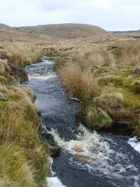
Round Hill Water
The water flows from the flank of Wolfhole Crag and feeds the Brennand River
 Map © Crown Copyright")
TIP: Click the map for more Large scale mapping
- Grid Square
- SD6356, 9 images (more nearby 🔍)
- Photographer
- Michael Graham (more nearby)
- Date Taken
- Friday, 26 March, 2010 (more nearby)
- Submitted
- Sunday, 28 March, 2010
- Subject Location
-
OSGB36:
 SD 634 566 [100m precision]
WGS84: 54:0.2527N 2:33.5567W - Camera Location
-
OSGB36: SD 634 565
- View Direction
- North-northeast (about 22 degrees)