2006
SU1423 : Bridleway to Clearbury Down
taken 18 years ago, near to Odstock, Wiltshire, England
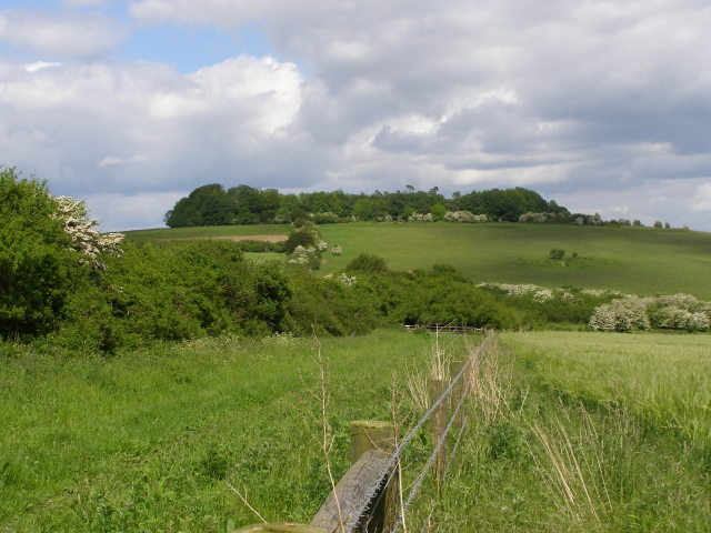
Bridleway to Clearbury Down
On the left is the track leading to Clearbury Down (the grassy slope in the distance). The trees on top of the hill are growing on and within the earthworks of the iron-age hillfort called Clearbury Ring.
 Map © Crown Copyright")
TIP: Click the map for more Large scale mapping
- Grid Square
- SU1423, 17 images (more nearby 🔍)
- Photographer
- Jim Champion (more nearby)
- Date Taken
- Tuesday, 30 May, 2006 (more nearby)
- Submitted
- Tuesday, 30 May, 2006
- Subject Location
-
OSGB36:
 SU 146 239 [100m precision]
WGS84: 51:0.8578N 1:47.5950W - View Direction
- Northeast (about 45 degrees)