2006
NY1777 : Fields near Burnswark Hill
taken 18 years ago, near to Burnswark, Dumfries And Galloway, Scotland
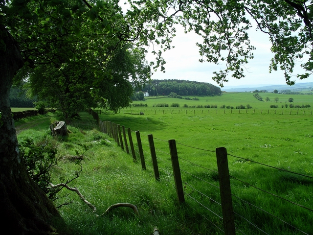
Fields near Burnswark Hill
The white building in the distance is Douglashall.
 Map © Crown Copyright")
TIP: Click the map for more Large scale mapping
- Grid Square
- NY1777, 2 images (more nearby 🔍)
- Photographer
- Lynne Kirton (more nearby)
- Date Taken
- Thursday, 1 June, 2006 (more nearby)
- Submitted
- Thursday, 1 June, 2006
- Subject Location
-
OSGB36:
 NY 178 779 [100m precision]
WGS84: 55:5.3219N 3:17.3631W - View Direction
- South-southwest (about 202 degrees)