2010
SD7443 : Weir above Brungerley Bridge
taken 14 years ago, near to Clitheroe, Lancashire, England
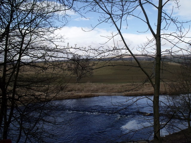
Weir above Brungerley Bridge
Taken from Brungerley Park
 Map © Crown Copyright")
TIP: Click the map for more Large scale mapping
- Grid Square
- SD7443, 67 images (more nearby 🔍)
- Photographer
- Patrick (more nearby)
- Date Taken
- Saturday, 13 March, 2010 (more nearby)
- Submitted
- Monday, 5 April, 2010
- Subject Location
-
OSGB36:
 SD 743 431 [100m precision]
WGS84: 53:53.0447N 2:23.5110W - Camera Location
-
OSGB36: SD 744 431
- View Direction
- Northwest (about 315 degrees)