2010
SO6427 : Meadow north of Crossington Farm
taken 14 years ago, near to Upton Bishop, County of Herefordshire, England
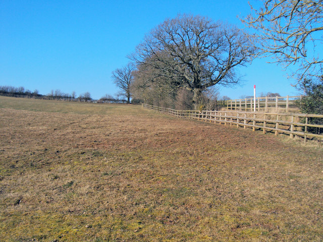
Meadow north of Crossington Farm
Looking north to the red-topped marker for the major gas pipeline - see SO6427 : Crossing the pipeline and SN6121 : Glanyrafon Farm and Afon Tywi. All back to normal again after large excavations of fields and hedges.
 Map © Crown Copyright")
TIP: Click the map for more Large scale mapping
- Grid Square
- SO6427, 57 images (more nearby 🔍)
- Photographer
- Trevor Rickard (more nearby)
- Date Taken
- Sunday, 7 March, 2010 (more nearby)
- Submitted
- Wednesday, 7 April, 2010
- Subject Location
-
OSGB36:
 SO 642 279 [100m precision]
WGS84: 51:56.9064N 2:31.2581W - Camera Location
-
OSGB36: SO 642 278
- View Direction
- NORTH (about 0 degrees)