2006
SY5689 : Footpath to Lower Farm, Long Bredy
taken 18 years ago, near to Long Bredy, Dorset, England
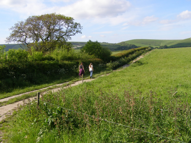
Footpath to Lower Farm, Long Bredy
On the map the footpath crosses the field, in reality there is an electric fence around the field so the track at the edge is a better route. Annoyingly the footpath doesn't actually join with the public road at Lower Farm.
 Map © Crown Copyright")
TIP: Click the map for more Large scale mapping
- Grid Square
- SY5689, 30 images (more nearby 🔍)
- Photographer
- Jim Champion (more nearby)
- Date Taken
- Thursday, 1 June, 2006 (more nearby)
- Submitted
- Saturday, 3 June, 2006
- Subject Location
-
OSGB36:
 SY 565 891 [100m precision]
WGS84: 50:41.9943N 2:37.0386W - View Direction
- North-northwest (about 337 degrees)