2010
TA1132 : The Trans Pennine Trail to Hornsea (former railway)
taken 14 years ago, near to Sutton-on-Hull, Kingston Upon Hull, England
This is 1 of 10 images, with title starting with The Trans Pennine in this square
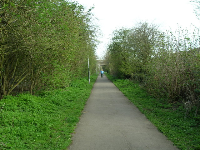
The Trans Pennine Trail to Hornsea (former railway)
 Map © Crown Copyright")
TIP: Click the map for more Large scale mapping
- Grid Square
- TA1132, 529 images (more nearby 🔍)
- Photographer
- JThomas (more nearby)
- Date Taken
- Friday, 9 April, 2010 (more nearby)
- Submitted
- Saturday, 10 April, 2010
- Subject Location
-
OSGB36:
 TA 112 322 [100m precision]
WGS84: 53:46.4552N 0:18.7668W - Camera Location
-
OSGB36: TA 112 321
- View Direction
- North-northeast (about 22 degrees)