2010
NY8452 : Holmslinn Shaft
taken 14 years ago, near to Sinderhope, Northumberland, England
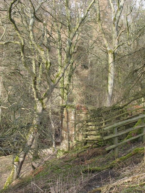
Holmslinn Shaft
This connected with the Blackett Level; the NY8356 : Entrance to the Blackett Level is close to the river below Allendale Town.
 Map © Crown Copyright")
TIP: Click the map for more Large scale mapping
- Grid Square
- NY8452, 272 images (more nearby 🔍)
- Photographer
- Mike Quinn (more nearby)
- Date Taken
- Monday, 5 April, 2010 (more nearby)
- Submitted
- Monday, 12 April, 2010
- Subject Location
-
OSGB36:
 NY 841 524 [100m precision]
WGS84: 54:51.9701N 2:14.8946W - Camera Location
-
OSGB36: NY 841 523
- View Direction
- Northeast (about 45 degrees)