2005
SP4461 : Mayer Bridge Barn
taken 19 years ago, near to Southam, Warwickshire, England
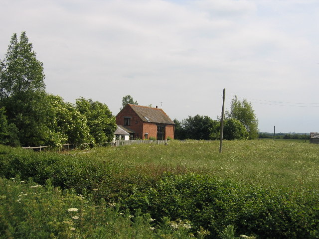
Mayer Bridge Barn
This barn conversion in the NW corner of the square forms part of Napton Lower Fields Farm and is seen from the lay-by beside the A425.
 Map © Crown Copyright")
TIP: Click the map for more Large scale mapping
- Grid Square
- SP4461, 12 images (more nearby 🔍)
- Photographer
- David Stowell (more nearby)
- Date Taken
- Saturday, 11 June, 2005 (more nearby)
- Submitted
- Sunday, 12 June, 2005
- Subject Location
-
OSGB36:
 SP 440 618 [100m precision]
WGS84: 52:15.1574N 1:21.4124W - View Direction
- Southeast (about 135 degrees)