2006
NT5362 : Sting Bank Burn
taken 18 years ago, 3 km from Longyester, East Lothian, Scotland
This is 1 of 4 images, with title Sting Bank Burn in this square
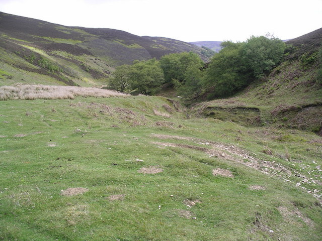
Sting Bank Burn
Looking ENE down the burn
 Map © Crown Copyright")
TIP: Click the map for more Large scale mapping
- Grid Square
- NT5362, 19 images (more nearby 🔍)
- Photographer
- Graham Ellis (more nearby)
- Date Taken
- Saturday, 3 June, 2006 (more nearby)
- Submitted
- Sunday, 4 June, 2006
- Subject Location
-
OSGB36:
 NT 534 624 [100m precision]
WGS84: 55:51.1521N 2:44.7544W - View Direction
- East-northeast (about 67 degrees)