2006
SW5936 : Bezurrel farm
taken 18 years ago, near to Gwinear, Cornwall, England
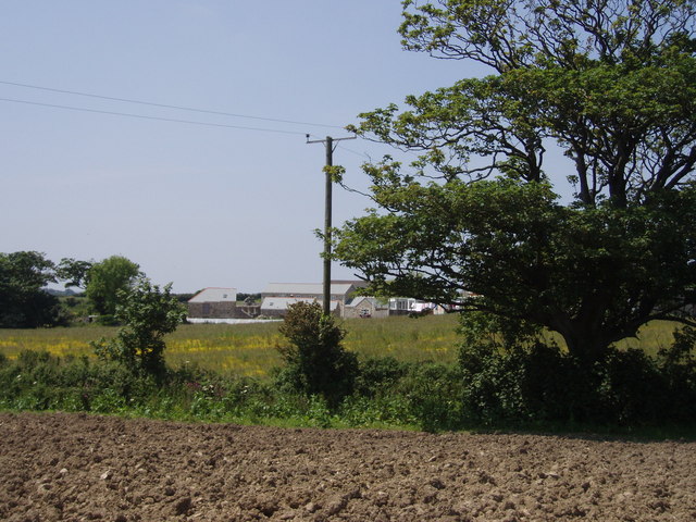
Bezurrel farm
Farming continues on the edge of what used to be a busy mining area.
 Map © Crown Copyright")
TIP: Click the map for more Large scale mapping
- Grid Square
- SW5936, 8 images (more nearby 🔍)
- Photographer
- Sheila Russell (more nearby)
- Date Taken
- Wednesday, 7 June, 2006 (more nearby)
- Submitted
- Wednesday, 7 June, 2006
- Subject Location
-
OSGB36:
 SW 597 368 [100m precision]
WGS84: 50:10.9424N 5:22.0409W - View Direction
- Northwest (about 315 degrees)