2006
SU2801 : View of South Weirs from Worthys Farm
taken 18 years ago, near to Brockenhurst, Hampshire, England
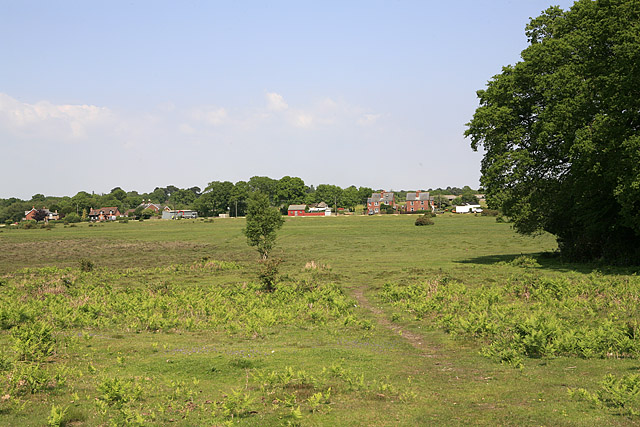
View of South Weirs from Worthys Farm
South Weirs is a private gravel track providing access to housing. It comes to a dead end at Worthys Farm. The Burley Road is off picture left.
 Map © Crown Copyright")
TIP: Click the map for more Large scale mapping
- Grid Square
- SU2801, 38 images (more nearby 🔍)
- Photographer
- Peter Facey (more nearby)
- Date Taken
- Wednesday, 7 June, 2006 (more nearby)
- Submitted
- Wednesday, 7 June, 2006
- Subject Location
-
OSGB36:
 SU 2860 0136 [10m precision]
WGS84: 50:48.6654N 1:35.7265W - View Direction
- North-northeast (about 22 degrees)