2006
TQ9456 : Meadow east of Shulland Wood
taken 18 years ago, near to Doddington, Kent, England
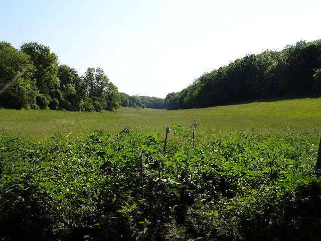
Meadow east of Shulland Wood
Broad flat valley bottom running SSE from Seed Road.
 Map © Crown Copyright")
TIP: Click the map for more Large scale mapping
- Grid Square
- TQ9456, 38 images (more nearby 🔍)
- Photographer
- Penny Mayes (more nearby)
- Date Taken
- Thursday, 8 June, 2006 (more nearby)
- Submitted
- Friday, 9 June, 2006
- Subject Location
-
OSGB36:
 TQ 941 566 [100m precision]
WGS84: 51:16.5287N 0:46.8862E - Camera Location
-
OSGB36: TQ 941 567
- View Direction
- South-southwest (about 202 degrees)