2006
SP6297 : Blaby and Wigston
taken 18 years ago, near to Newton Harcourt, Leicestershire, England
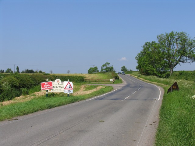
Blaby and Wigston
The ornate sign for the Borough of Blaby and Wigston with additions and the entrance to Glebe Farm beyond.
 Map © Crown Copyright")
TIP: Click the map for more Large scale mapping
- Grid Square
- SP6297, 20 images (more nearby 🔍)
- Photographer
- Andrew Tatlow (more nearby)
- Date Taken
- Wednesday, 7 June, 2006 (more nearby)
- Submitted
- Saturday, 10 June, 2006
- Subject Location
-
OSGB36:
 SP 627 976 [100m precision]
WGS84: 52:34.3570N 1:4.5766W - Camera Location
-
OSGB36: SP 629 975
- View Direction
- Northwest (about 315 degrees)