2006
NH5061 : Gorse
taken 18 years ago, near to Bottacks, Highland, Scotland
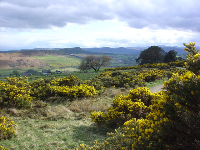
Gorse
The photograph of gorse bushes was taken on the track from the Heights of Keppoch, near Dingwall, to Garve. The track is part of the Mid-Ross Paths around Dingwall network. The land is common grazing for the neighbouring crofters stock.
 Map © Crown Copyright")
TIP: Click the map for more Large scale mapping
- Grid Square
- NH5061, 5 images (more nearby 🔍)
- Photographer
- Alasdair MacDonald (more nearby)
- Date Taken
- Friday, 12 May, 2006 (more nearby)
- Submitted
- Saturday, 10 June, 2006
- Subject Location
-
OSGB36:
 NH 501 610 [100m precision]
WGS84: 57:36.8397N 4:30.6581W - Camera Location
-
OSGB36: NH 501 611
- View Direction
- South-southwest (about 202 degrees)