2006
NO2860 : Quharity Burn
taken 18 years ago, near to Longdrum, Angus, Scotland
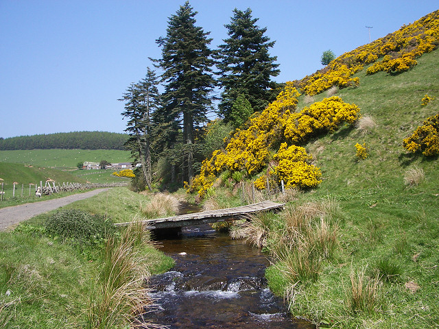
Quharity Burn
Looking up the glen towards Longdrum farm past gorse-covered slopes on the right.
 Map © Crown Copyright")
TIP: Click the map for more Large scale mapping
- Grid Square
- NO2860 (more nearby 🔍)
- Photographer
- Lis Burke (more nearby)
- Date Taken
- Saturday, 10 June, 2006 (more nearby)
- Submitted
- Sunday, 11 June, 2006
- Subject Location
-
OSGB36:
 NO 280 609 [100m precision]
WGS84: 56:44.0503N 3:10.7077W - View Direction
- NORTH (about 0 degrees)