2010
J4669 : The Comber bypass (5)
taken 14 years ago, near to Comber, Co Down, Northern Ireland
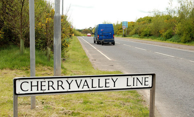
The Comber bypass (5)
The start of the bypass (officially the Cherryvalley Line) just past the Newtownards Road roundabout. The height of the landscaping makes an interesting comparison with that in J4669 : The Comber bypass (1).
The Comber bypass
Phase 1 of the Comber bypass opened in the 60s. Phase 2 opened in 2003. Both are built on the line of the old Belfast-Donaghadee railway. It connects the Belfast road to the roads to Killyleagh/Downpatrick and Newtownards.
Loading map... (JavaScript required)
- Grid Square
- J4669, 129 images (more nearby 🔍)
- Photographer
- Albert Bridge (more nearby)
- Date Taken
- Monday, 10 May, 2010 (more nearby)
- Submitted
- Monday, 10 May, 2010
- Subject Location
-
Irish:
 J 469 693 [100m precision]
WGS84: 54:33.0629N 5:43.7863W - Camera Location
-
Irish: J 469 693
- View Direction
- Southwest (about 225 degrees)