2006
SK0061 : Windygates
taken 18 years ago, near to Upper Hulme, Staffordshire, England
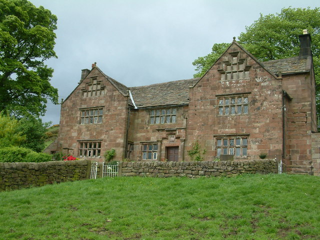
Windygates
Old farmhouse made from local stone
 Map © Crown Copyright")
TIP: Click the map for more Large scale mapping
- Grid Square
- SK0061, 70 images (more nearby 🔍)
- Photographer
- Peter Hodge (more nearby)
- Date Taken
- Saturday, 27 May, 2006 (more nearby)
- Submitted
- Monday, 12 June, 2006
- Subject Location
-
OSGB36:
 SK 0040 6182 [10m precision]
WGS84: 53:9.2109N 1:59.7284W - View Direction
- Northeast (about 45 degrees)