2010
SO8287 : Staffordshire crop fields near Enville
taken 14 years ago, near to Enville, Staffordshire, England
This is 1 of 3 images, with title Staffordshire crop fields near Enville in this square
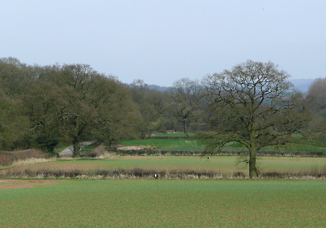
Staffordshire crop fields near Enville
These arable fields are by Morfe Lane, which can be seen on the left.
 Map © Crown Copyright")
TIP: Click the map for more Large scale mapping
- Grid Square
- SO8287, 46 images (more nearby 🔍)
- Photographer
- Roger D Kidd (more nearby)
- Date Taken
- Saturday, 10 April, 2010 (more nearby)
- Submitted
- Wednesday, 12 May, 2010
- Subject Location
-
OSGB36:
 SO 82127 87573 [1m precision]
WGS84: 52:29.1467N 2:15.8776W - Camera Location
-
OSGB36: SO 82019 87482
- View Direction
- Northeast (about 45 degrees)