2010
SO8287 : Staffordshire farmland near Enville
taken 14 years ago, near to Enville, Staffordshire, England
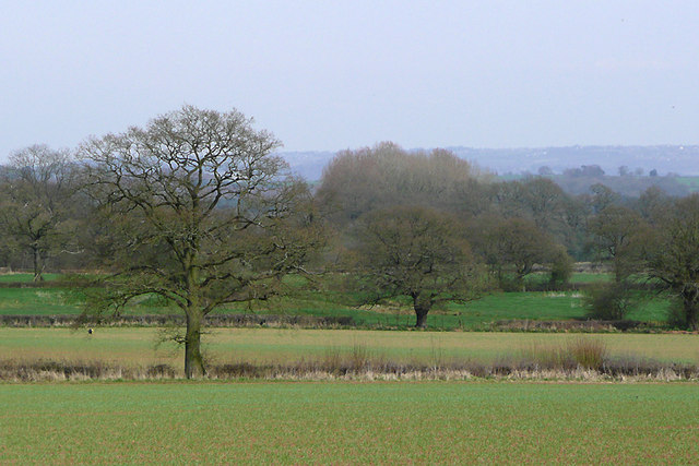
Staffordshire farmland near Enville
These fields are between Morfe Lane and the woods of Church Gorse, and seen from the Staffordshire way footpath near the lane.
 Map © Crown Copyright")
TIP: Click the map for more Large scale mapping
- Grid Square
- SO8287, 46 images (more nearby 🔍)
- Photographer
- Roger D Kidd (more nearby)
- Date Taken
- Saturday, 10 April, 2010 (more nearby)
- Submitted
- Wednesday, 12 May, 2010
- Subject Location
-
OSGB36:
 SO 821 875 [100m precision]
WGS84: 52:29.1306N 2:15.8528W - Camera Location
-
OSGB36: SO 820 874
- View Direction
- East-northeast (about 67 degrees)