2006
SX6674 : East Dart valley at Little Newtake Plantation
taken 18 years ago, near to Babeny, Devon, England
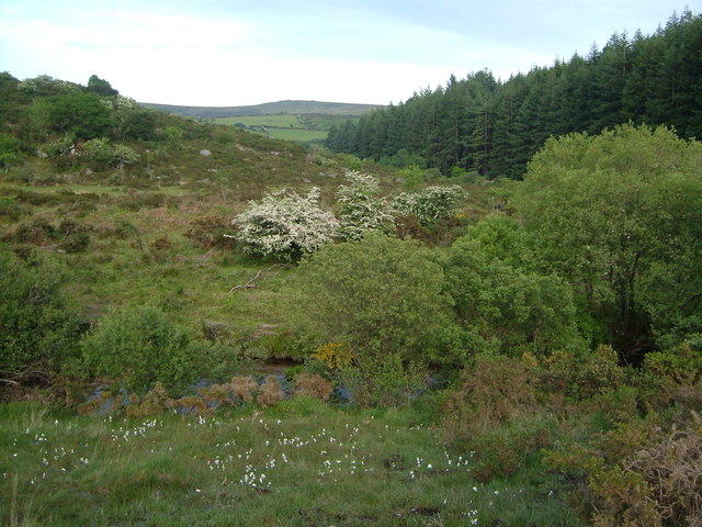
East Dart valley at Little Newtake Plantation
The East Dart, flowing to the right, approaches a left bend to take it past the conifer plantation in the background. Taken from the permissive path between Laughter Hole and Babeny.
 Map © Crown Copyright")
TIP: Click the map for more Large scale mapping
- Grid Square
- SX6674, 23 images (more nearby 🔍)
- Photographer
- Derek Harper (more nearby)
- Date Taken
- Tuesday, 13 June, 2006 (more nearby)
- Submitted
- Tuesday, 13 June, 2006
- Subject Location
-
OSGB36:
 SX 667 748 [100m precision]
WGS84: 50:33.4627N 3:52.9931W - Camera Location
-
OSGB36: SX 665 748
- View Direction
- East-southeast (about 112 degrees)