2006
SX6595 : Field and A30 embankment near South Tawton
taken 18 years ago, near to South Tawton, Devon, England
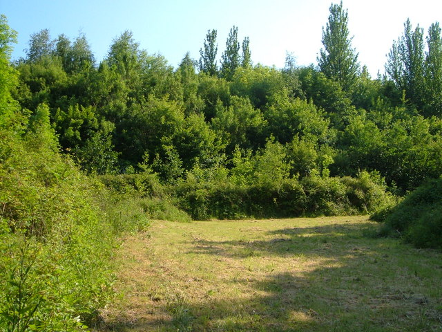
Field and A30 embankment near South Tawton
Looks peaceful, but the trees are on the embankment of the A30 dual carriageway carrying traffic between Cornwall and Exeter. Taken from the north side of the road, from South Tawton Footpath 62 between the lane near Craydon and South Tawton.
 Map © Crown Copyright")
TIP: Click the map for more Large scale mapping
- Grid Square
- SX6595, 13 images (more nearby 🔍)
- Photographer
- Derek Harper (more nearby)
- Date Taken
- Thursday, 8 June, 2006 (more nearby)
- Submitted
- Wednesday, 14 June, 2006
- Subject Location
-
OSGB36:
 SX 656 950 [100m precision]
WGS84: 50:44.3408N 3:54.3644W - View Direction
- South-southwest (about 202 degrees)