2010
TG1606 : School Lane, Little Melton
taken 14 years ago, near to Little Melton, Norfolk, England
This is 1 of 4 images, with title School Lane, Little Melton in this square
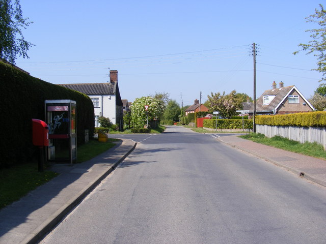
School Lane, Little Melton
At the Crossroads with Burnthouse Lane and Mill Road, the Crossways/Burnthouse Lane postbox is on the left.
 Map © Crown Copyright")
TIP: Click the map for more Large scale mapping
- Grid Square
- TG1606, 54 images (more nearby 🔍)
- Photographer
- Geographer (more nearby)
- Date Taken
- Wednesday, 19 May, 2010 (more nearby)
- Submitted
- Wednesday, 19 May, 2010
- Subject Location
-
OSGB36:
 TG 1605 0670 [10m precision]
WGS84: 52:36.9043N 1:11.3952E - Camera Location
-
OSGB36: TG 1605 0670
- View Direction
- West-southwest (about 247 degrees)