2010
NZ4735 : The A179 road near Hart Station
taken 14 years ago, near to Hart, Hartlepool, England
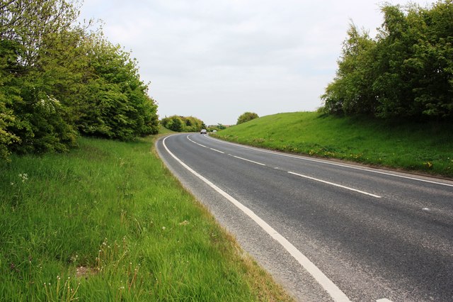
The A179 road near Hart Station
This photograph shows a view of the A179 (Hart Road) as it passes through the south-eastern corner of the grid-square. The picture was taken looking in an east-north-easterly direction towards North Sands.
 Map © Crown Copyright")
TIP: Click the map for more Large scale mapping
- Grid Square
- NZ4735, 13 images (more nearby 🔍)
- Photographer
- Philip Barker (more nearby)
- Date Taken
- Wednesday, 19 May, 2010 (more nearby)
- Submitted
- Wednesday, 19 May, 2010
- Subject Location
-
OSGB36:
 NZ 479 350 [100m precision]
WGS84: 54:42.4969N 1:15.4589W - Camera Location
-
OSGB36: NZ 478 350
- View Direction
- East-northeast (about 67 degrees)