2010
SJ9498 : Path to Bank Top
taken 14 years ago, near to Ashton-Under-Lyne, Tameside, England
This is 1 of 2 images, with title Path to Bank Top in this square
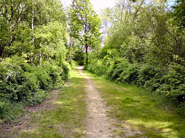
Path to Bank Top
Footpath from Whitelands Road.
 Map © Crown Copyright")
TIP: Click the map for more Large scale mapping
- Grid Square
- SJ9498, 273 images (more nearby 🔍)
- Photographer
- Gerald England (more nearby)
- Date Taken
- Thursday, 20 May, 2010 (more nearby)
- Submitted
- Thursday, 20 May, 2010
- Subject Location
-
OSGB36:
 SJ 942 987 [100m precision]
WGS84: 53:29.1206N 2:5.2601W - Camera Location
-
OSGB36: SJ 942 987
- View Direction
- Northeast (about 45 degrees)