2006
ST5545 : Tor Hill
taken 18 years ago, near to Wells, Somerset, England
This is 1 of 2 images, with title starting with Tor Hill in this square
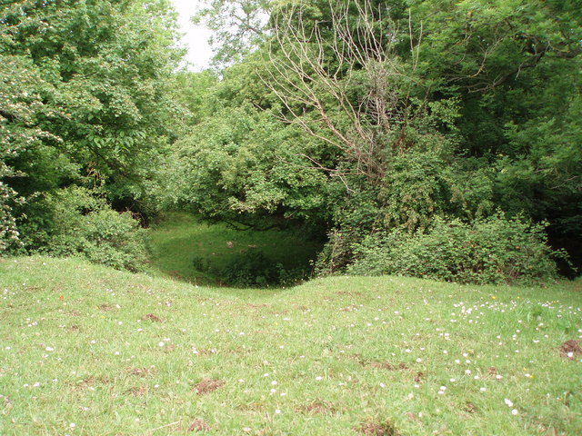
Tor Hill
This depression in the ground is the result of an old, small limestone quarry. A much larger quarry (Torhill - also disused now) lies to the south. The vegetation has now totally regrown leaving an interesting feature in the landscape.
 Map © Crown Copyright")
TIP: Click the map for more Large scale mapping
- Grid Square
- ST5545, 1274 images (more nearby 🔍)
- Photographer
- Sharon Loxton (more nearby)
- Date Taken
- Sunday, 4 June, 2006 (more nearby)
- Submitted
- Friday, 16 June, 2006
- Subject Location
-
OSGB36:
 ST 559 456 [100m precision]
WGS84: 51:12.4737N 2:37.9601W - View Direction
- NORTH (about 0 degrees)