2006
SO5758 : Humber Brook
taken 18 years ago, near to Pudleston, County of Herefordshire, England
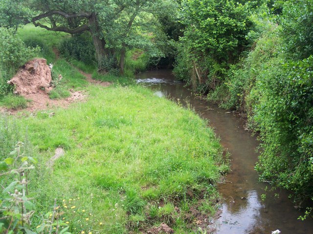
Humber Brook
Sourced from several streams in the Hampton Charles area to the north east of here, the brook flows in a generally south westerly direction before joining the River Lugg at Hampton Court near Hope under Dinmore.
 Map © Crown Copyright")
TIP: Click the map for more Large scale mapping
- Grid Square
- SO5758, 17 images (more nearby 🔍)
- Photographer
- Bob Embleton (more nearby)
- Date Taken
- Sunday, 18 June, 2006 (more nearby)
- Submitted
- Sunday, 18 June, 2006
- Subject Location
-
OSGB36:
 SO 573 589 [100m precision]
WGS84: 52:13.5982N 2:37.5934W - View Direction
- SOUTH (about 180 degrees)