2010
TA2073 : Headland Way, Bempton Cliff
taken 14 years ago, near to Bempton, East Riding of Yorkshire, England
This is 1 of 3 images, with title Headland Way, Bempton Cliff in this square
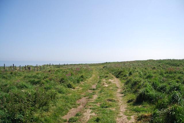
Headland Way, Bempton Cliff
A linear walk of about 20 miles from the Priory Church in the Old Town of Bridlington to the Coble Landing in Filey. The route follows the coastline around Flamborough Head. Part 4 of the longer East Riding Heritage Trail, which is 4 linked walks connecting Hessle to Filey.
See other images of Headland Way
See other images of Headland Way
 Map © Crown Copyright")
TIP: Click the map for more Large scale mapping
- Grid Square
- TA2073, 208 images (more nearby 🔍)
- Photographer
- N Chadwick (more nearby)
- Date Taken
- Thursday, 3 June, 2010 (more nearby)
- Submitted
- Monday, 14 June, 2010
- Subject Location
-
OSGB36:
 TA 207 735 [100m precision]
WGS84: 54:8.5999N 0:9.1878W - Camera Location
-
OSGB36: TA 207 735
- View Direction
- East-northeast (about 67 degrees)