2010
TA2272 : Pasture land by Headland Way
taken 14 years ago, near to Flamborough, East Riding of Yorkshire, England
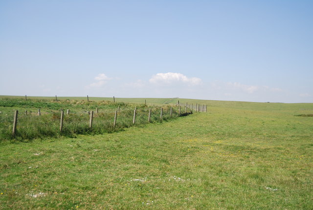
Pasture land by Headland Way
 Map © Crown Copyright")
TIP: Click the map for more Large scale mapping
- Grid Square
- TA2272, 128 images (more nearby 🔍)
- Photographer
- N Chadwick (more nearby)
- Date Taken
- Thursday, 3 June, 2010 (more nearby)
- Submitted
- Monday, 14 June, 2010
- Subject Location
-
OSGB36:
 TA 220 727 [100m precision]
WGS84: 54:8.1448N 0:8.0049W - Camera Location
-
OSGB36: TA 220 727
- View Direction
- South-southeast (about 157 degrees)