2006
NH0820 : West along River Affric
taken 18 years ago, near to Allt na Faing [water Feature], Highland, Great Britain
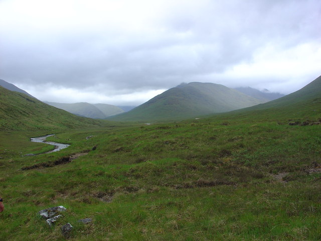
West along River Affric
The River Affric flows east down Glen Affric.
To the right, in the background, is Sgurr a' Dubh Doire, part of the long eastern slope of Beinn Fhada (Ben Attow).
The red roof of Alltbeithe Youth Hostel can just be seen in the mid ground, below the cloud clad hill.
To the right, in the background, is Sgurr a' Dubh Doire, part of the long eastern slope of Beinn Fhada (Ben Attow).
The red roof of Alltbeithe Youth Hostel can just be seen in the mid ground, below the cloud clad hill.
 Map © Crown Copyright")
TIP: Click the map for more Large scale mapping
- Grid Square
- NH0820, 16 images (more nearby 🔍)
- Photographer
- Alasdair MacDonald (more nearby)
- Date Taken
- Saturday, 17 June, 2006 (more nearby)
- Submitted
- Sunday, 25 June, 2006
- Subject Location
-
OSGB36:
 NH 086 203 [100m precision]
WGS84: 57:13.9964N 5:10.3686W - Camera Location
-
OSGB36: NH 087 203
- View Direction
- WEST (about 270 degrees)