2010
ST5219 : Field near Chilthorne Domer
taken 14 years ago, near to Chilthorne Domer, Somerset, England
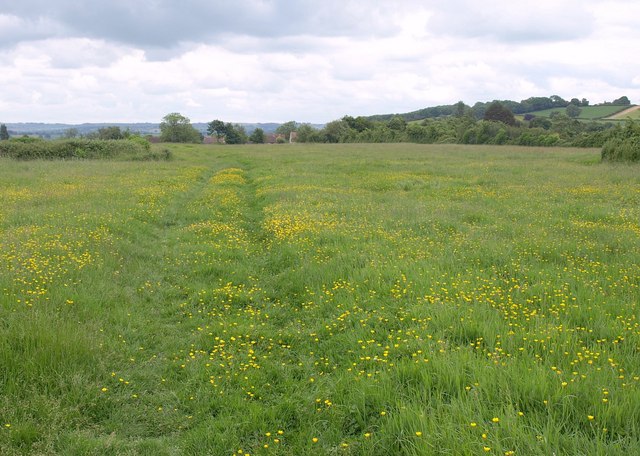
Field near Chilthorne Domer
Footpath Y 4/7 crosses a buttercup meadow on its way from Chilthornehill Lane to the village's main street.
 Map © Crown Copyright")
TIP: Click the map for more Large scale mapping
- Grid Square
- ST5219, 16 images (more nearby 🔍)
- Photographer
- Derek Harper (more nearby)
- Date Taken
- Wednesday, 9 June, 2010 (more nearby)
- Submitted
- Tuesday, 15 June, 2010
- Subject Location
-
OSGB36:
 ST 5206 1902 [10m precision]
WGS84: 50:58.1155N 2:41.0458W - Camera Location
-
OSGB36: ST 5201 1902
- View Direction
- EAST (about 90 degrees)