2010
TL7199 : Christ Church in Whittington - benchmark
taken 14 years ago, near to Whittington, Norfolk, England
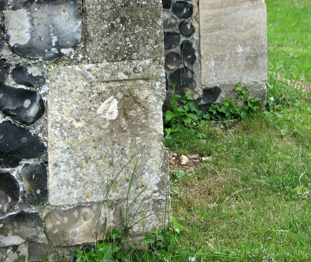
Christ Church in Whittington - benchmark
 Map © Crown Copyright")
TIP: Click the map for more Large scale mapping
- Grid Square
- TL7199, 45 images (more nearby 🔍)
- Photographer
- Evelyn Simak (more nearby)
- Date Taken
- Sunday, 13 June, 2010 (more nearby)
- Submitted
- Tuesday, 15 June, 2010
- Subject Location
-
OSGB36:
 TL 716 992 [100m precision]
WGS84: 52:33.8610N 0:31.8877E - Camera Location
-
OSGB36: TL 716 993
- View Direction
- East-southeast (about 112 degrees)