2010
NN4732 : Steep ground, east of Sgiath Chùil
taken 14 years ago, 4 km S of Kenknock, Stirling, Scotland
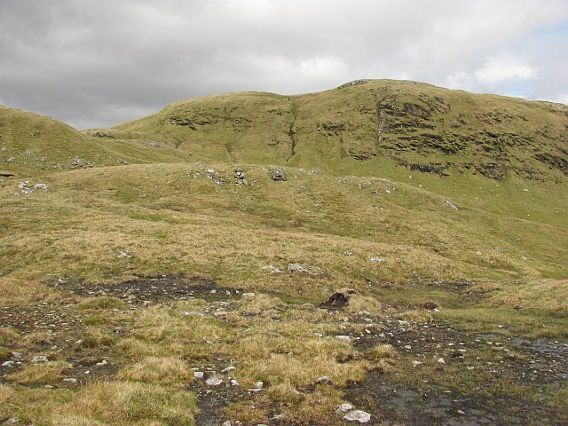
Steep ground, east of Sgiath Chùil
View from near Meall Eòghainn towards the 883m top which is not named on the map. The vegetated crags are a good site for alpine flowers.
 Map © Crown Copyright")
TIP: Click the map for more Large scale mapping
- Grid Square
- NN4732, 4 images (more nearby 🔍)
- Photographer
- Richard Webb (more nearby)
- Date Taken
- Wednesday, 9 June, 2010 (more nearby)
- Submitted
- Tuesday, 15 June, 2010
- Subject Location
-
OSGB36:
 NN 471 326 [100m precision]
WGS84: 56:27.6575N 4:28.9135W - Camera Location
-
OSGB36: NN 468 323
- View Direction
- Northeast (about 45 degrees)