2010
NS1068 : Ardyne Burn - Upstream View
taken 14 years ago, near to Port Bannatyne, Bute, Argyll And Bute, Scotland
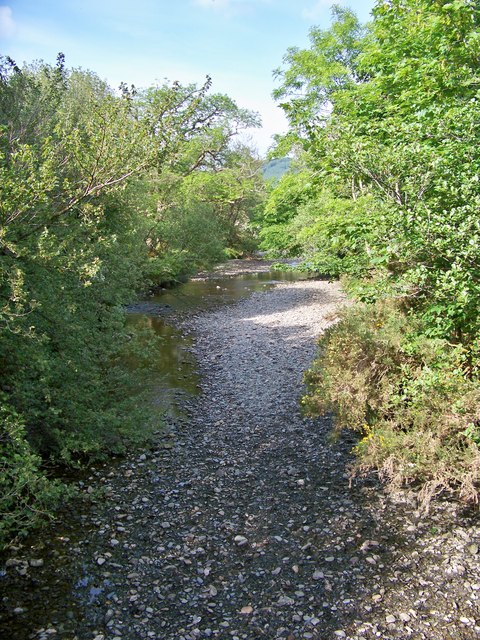
Ardyne Burn - Upstream View
A view of this stream from the bridge at the entrance to the former oil rig construction yard.
 Map © Crown Copyright")
TIP: Click the map for more Large scale mapping
- Grid Square
- NS1068, 45 images (more nearby 🔍)
- Photographer
- James T M Towill (more nearby)
- Date Taken
- Monday, 7 June, 2010 (more nearby)
- Submitted
- Wednesday, 16 June, 2010
- Subject Location
-
OSGB36:
 NS 102 682 [100m precision]
WGS84: 55:52.2192N 5:2.0290W - Camera Location
-
OSGB36: NS 102 682
- View Direction
- Northeast (about 45 degrees)