2010
SJ7663 : End of Brindley Lane
taken 14 years ago, near to Bradwall, Cheshire East, England
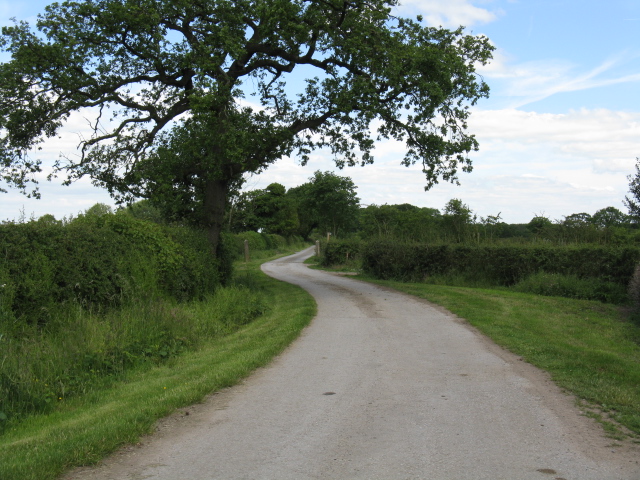
End of Brindley Lane
Beyond the chicane the lane continues as an access to Foxcovert Farm.
 Map © Crown Copyright")
TIP: Click the map for more Large scale mapping
- Grid Square
- SJ7663, 23 images (more nearby 🔍)
- Photographer
- Peter Whatley (more nearby)
- Date Taken
- Tuesday, 15 June, 2010 (more nearby)
- Submitted
- Thursday, 17 June, 2010
- Subject Location
-
OSGB36:
 SJ 763 637 [100m precision]
WGS84: 53:10.2146N 2:21.3056W - Camera Location
-
OSGB36: SJ 763 636
- View Direction
- North-northeast (about 22 degrees)