2010
NZ6218 : Fenced track to Upleatham
taken 14 years ago, near to Upleatham, Redcar And Cleveland, England
Fenced track to Upleatham
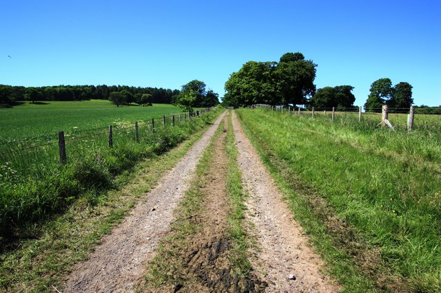
This photograph shows a view of a section of the fenced track (and public footpath) that runs between the B1268 road (behind the photographer) and Upleatham (ahead). The picture was taken looking in a north-westerly direction towards Fir Rigg Wood.
 Map © Crown Copyright")
TIP: Click the map for more Large scale mapping
- Grid Square
- NZ6218, 8 images (more nearby 🔍)
- Photographer
- Philip Barker (more nearby)
- Date Taken
- Thursday, 17 June, 2010 (more nearby)
- Submitted
- Friday, 18 June, 2010
- Subject Location
-
OSGB36:
 NZ 629 186 [100m precision]
WGS84: 54:33.5617N 1:1.7039W - Camera Location
-
OSGB36: NZ 629 186
- View Direction
- Northwest (about 315 degrees)