2006
TL0589 : Bridleway and Oil-seed Rape
taken 18 years ago, near to Tansor, North Northamptonshire, England
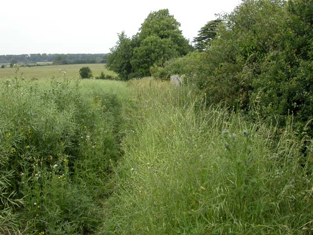
Bridleway and Oil-seed Rape
Horses would have difficulty using this track at present as the crop is leaning over it. View is towards the A605.
 Map © Crown Copyright")
TIP: Click the map for more Large scale mapping
- Grid Square
- TL0589, 7 images (more nearby 🔍)
- Photographer
- Kokai (more nearby)
- Date Taken
- Sunday, 18 June, 2006 (more nearby)
- Submitted
- Monday, 26 June, 2006
- Subject Location
-
OSGB36:
 TL 055 898 [100m precision]
WGS84: 52:29.7548N 0:26.8456W - Camera Location
-
OSGB36: TL 05560 89807
- View Direction
- Northwest (about 315 degrees)