2010
SJ7583 : Junction of lanes near Briddon Weir, Rostherne, Cheshire
taken 14 years ago, near to Rostherne, Cheshire East, England
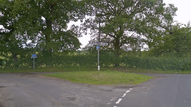
Junction of lanes near Briddon Weir, Rostherne, Cheshire
 Map © Crown Copyright")
TIP: Click the map for more Large scale mapping
- Grid Square
- SJ7583, 15 images (more nearby 🔍)
- Photographer
- Anthony O'Neil (more nearby)
- Date Taken
- Saturday, 19 June, 2010 (more nearby)
- Submitted
- Saturday, 19 June, 2010
- Subject Location
-
OSGB36:
 SJ 753 839 [100m precision]
WGS84: 53:21.1330N 2:22.2797W - Camera Location
-
OSGB36: SJ 754 839
- View Direction
- WEST (about 270 degrees)