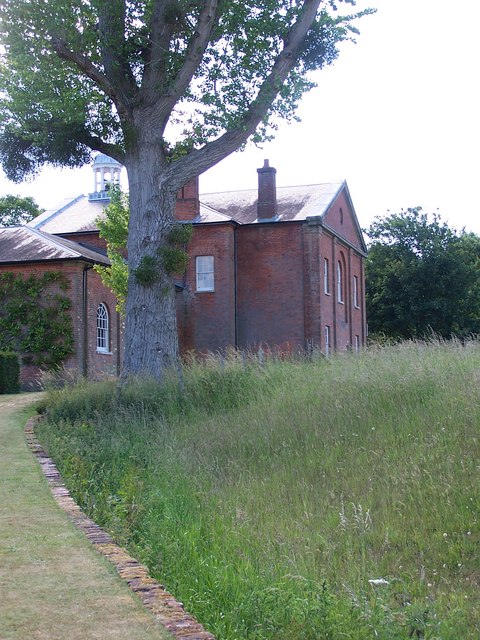
SU3227 : Stable block and ha ha, Mottisfont
taken 14 years ago, near to Mottisfont, Hampshire, England
Compiled by Brian Robert Marshall
The abbey (a misnomer, it was actually a priory) dates from the very early 13th century and has had mixed fortunes since. Henry VIII dissolved the priory in the 16th century and handed it over to a close acquaintance who converted it into a country home. Further works were carried out in the 18th century and the property looks substantially now as it did then. The most recent major event before it came under the control of the National Trust in 1957 was the arrival in 1934 of the beau monde in the shape of Maud and Gilbert Russell, wealthy patrons of the arts. The interior of the property owes much to the attentions of artists such as Rex Whistler and Boris Anrep. The Trust continues the connection with the fine art world by holding exhibitions of contemporary artworks. Aside from the priory, the gardens are worth visiting in their own right helped immeasurably by the River Test running through them.
The Abbey is listed Grade I LinkMany of the artefacts and features around the Abbey and its gardens are also listed in their own right.
 Map © Crown Copyright")
- Grid Square
- SU3227, 225 images (more nearby 🔍)
- Photographer
- David Martin (more nearby)
- Date Taken
- Sunday, 20 June, 2010 (more nearby)
- Submitted
- Sunday, 20 June, 2010
- Subject Location
-
OSGB36:
 SU 326 270 [100m precision]
WGS84: 51:2.5075N 1:32.1230W - Camera Location
-
OSGB36: SU 326 270
- View Direction
- WEST (about 270 degrees)